Description
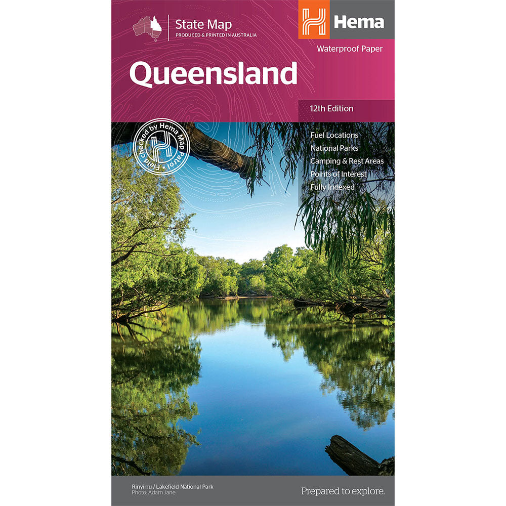
A touring map of Queensland for travelling throughout the state that has camping and rest areas, 24-hour fuel and points of interest marked on the mapping.
On the reverse are Brisbane through road and CBD maps, a South-East Queensland map and a Tropical North Queensland map, while national parks and information centres are listed as well.
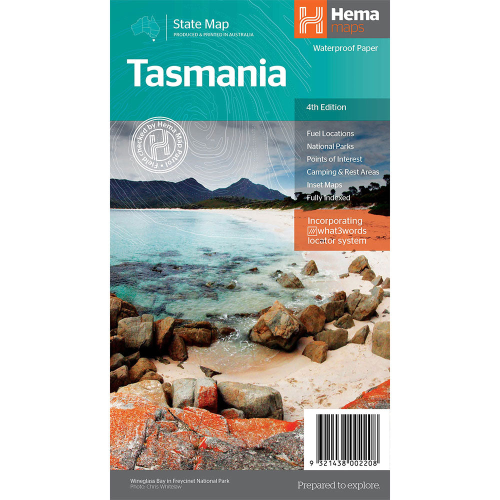
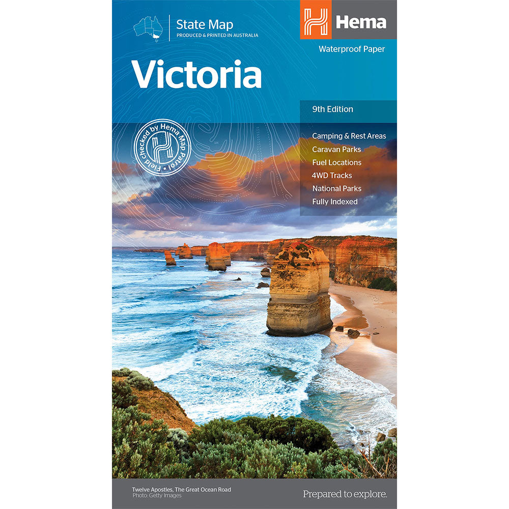
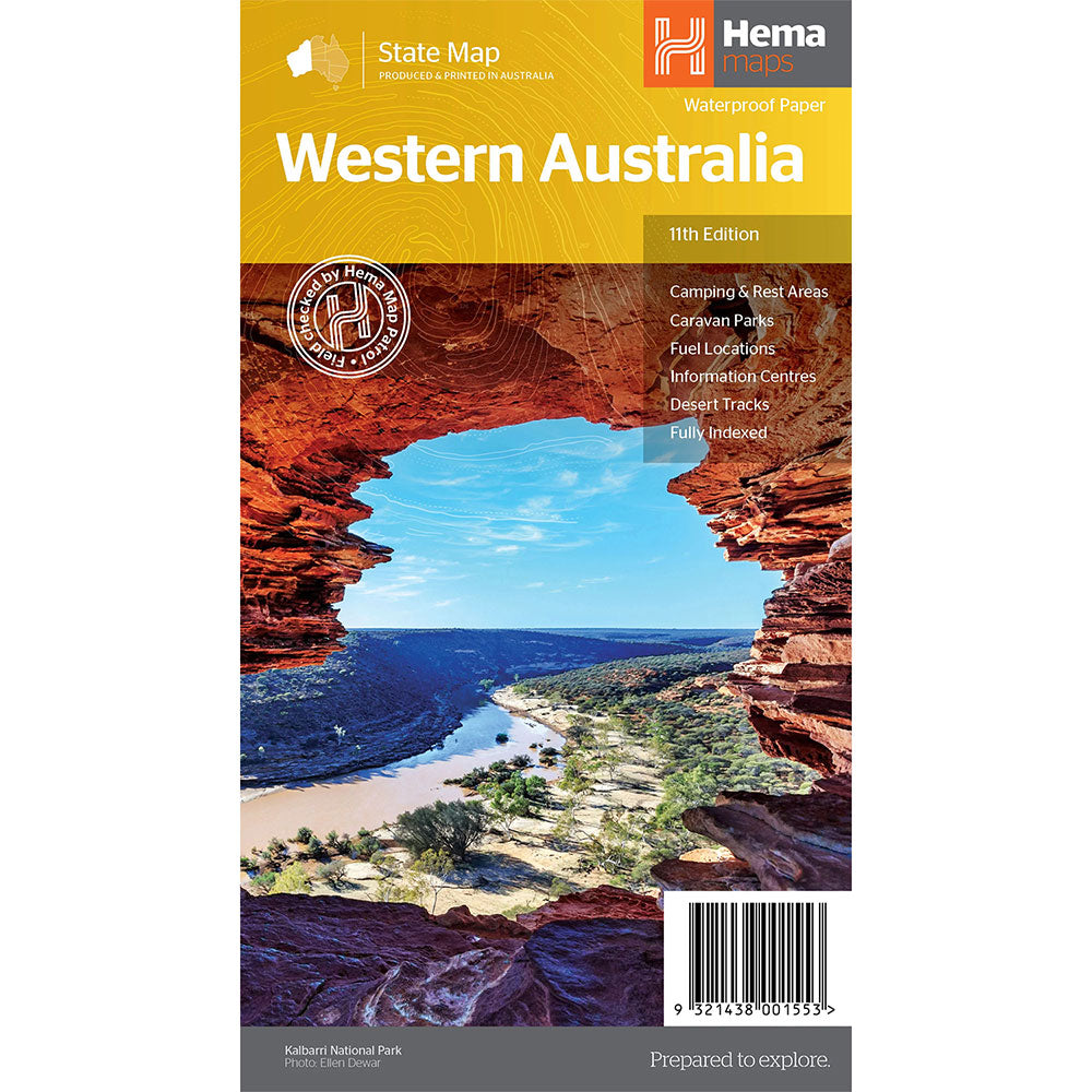
Fuel Locations, National parks, Camping & Rest Areas, Points of Interest, Fully indexed
Product Specifications
- Published: 25th February 2023
- Publisher: Hema Maps
- Format: Sheet Map
| Length : 24.5 cm | Width : 13.5 cm |
| Height : 1 cm |

Easy Returns
Free 365 Day Warranty
Shop & Pay in your currency
Now shipping to 40+ countries

100,000+ Products
Amazing Brands. All Gift Occasions.

